Log in
All resources
Create a design
1,096,168 Free Images of Maps Of Bern
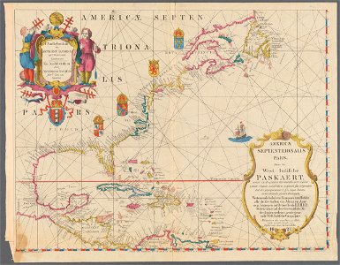
maps made in the 17th century
atlas van der hagen
atlantis magni tomus tertius (biblioteca comunale di trento)
maps with cartouches
old maps of the world
fonds ancely - bibliothèque municipale de toulouse - maps
gerard valck
atlas van der hagen (volume 1)
oil on canvas
daugava
maps made in the 17th century
gerard valck
maps by nicolaes visscher i
claes jansz. visscher (ii)
18th-century maps of hispaniola
hispaniola
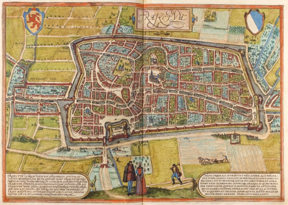
old maps of utrecht (city)
braun & hogenberg
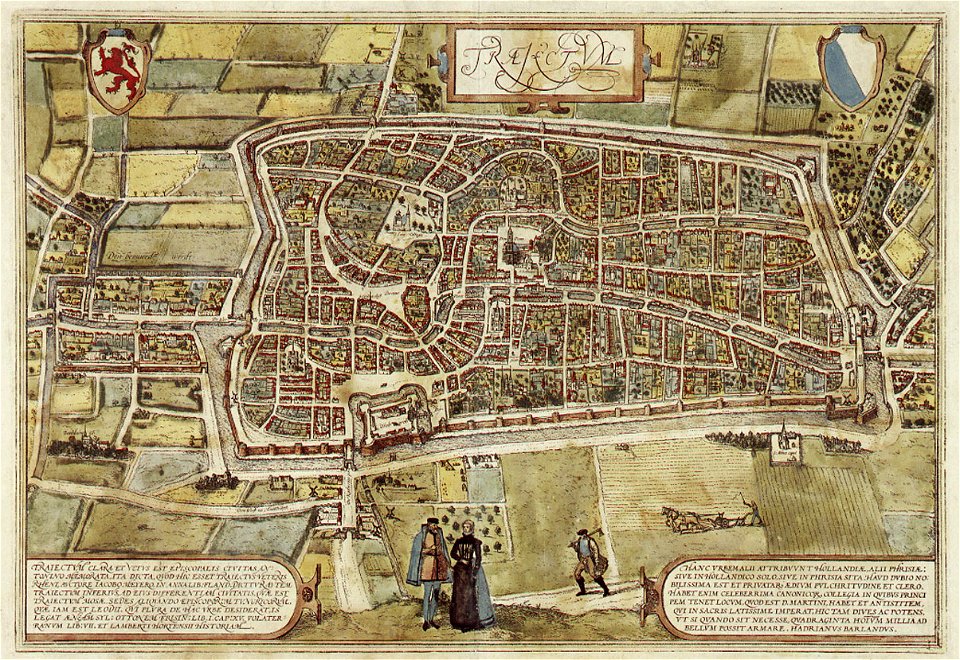
old maps of utrecht (city)
braun & hogenberg
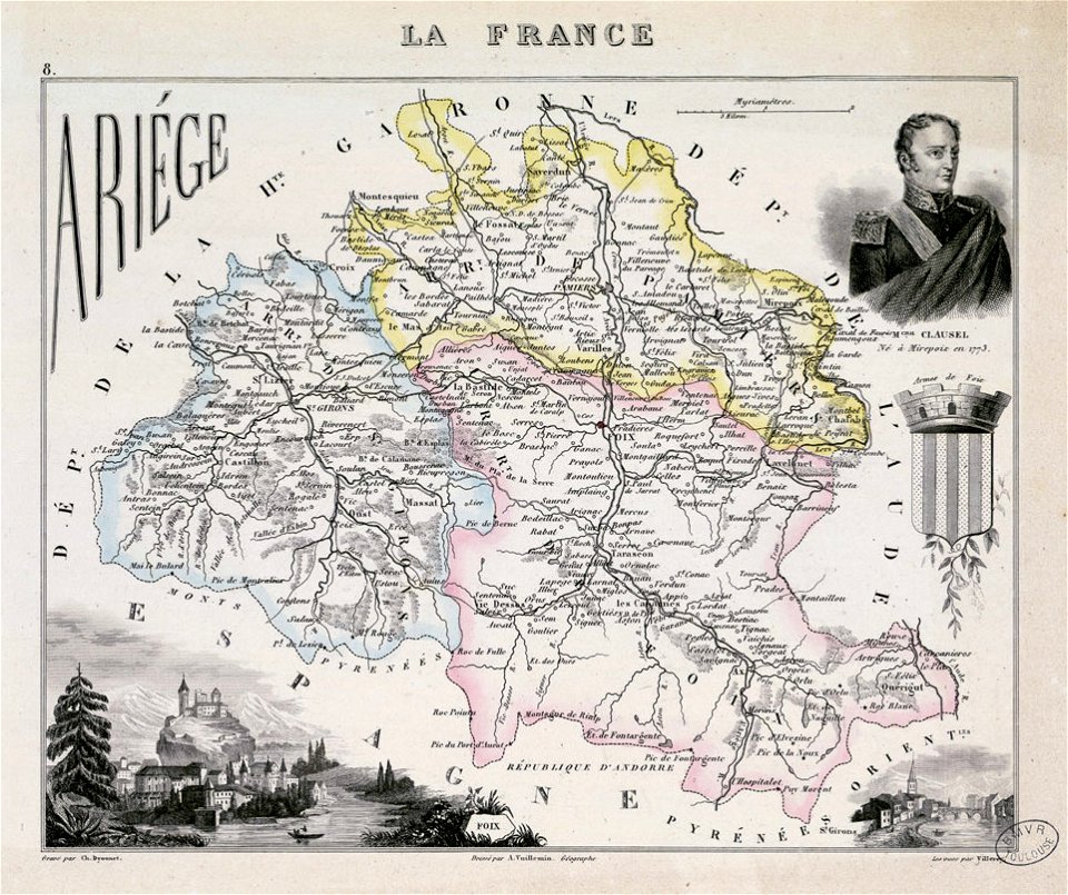
fonds ancely - bibliothèque municipale de toulouse - maps
coats of arms of foix
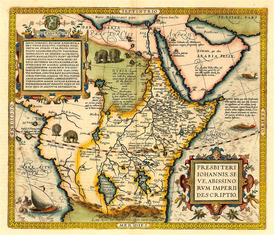
emblem of ethiopia
prester john
old maps of central america
1880 maps
maps by willem and johannes blaeu
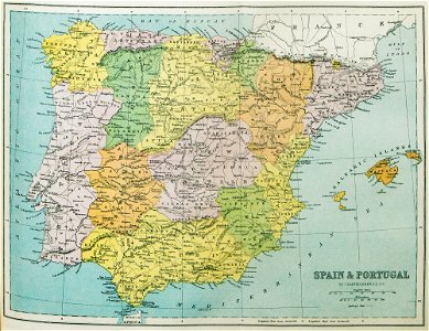
spain in the 17th century
old maps of the spanish empire
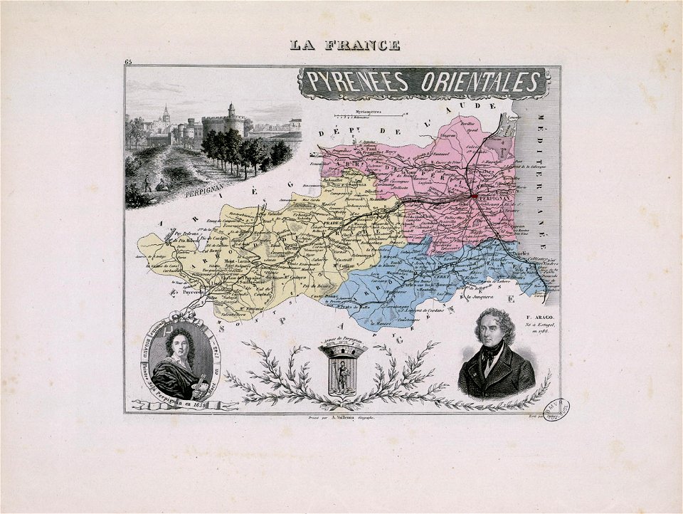
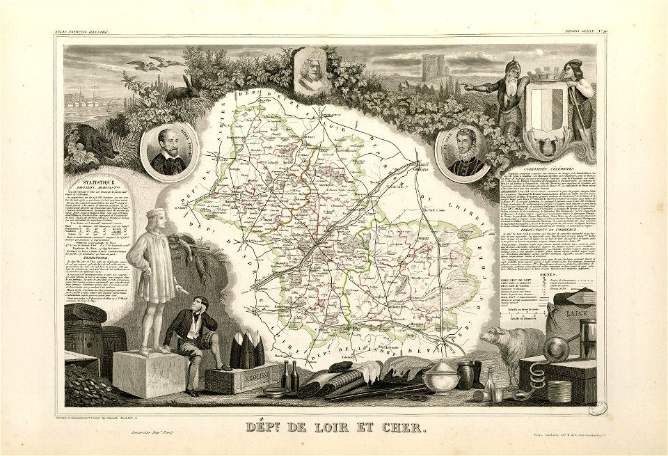
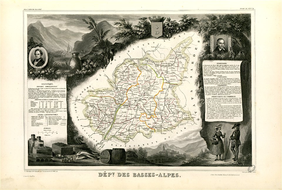
old maps of regions of france
atlas van der hagen (volume 4)
maps with cartouches
engravings of theatrum europaeum
1645 maps
maps of the united kingdom of great britain and ireland
ireland in the 1900s
old maps of pomerania
rudens
old maps of north rhine-westphalia
lower rhine region
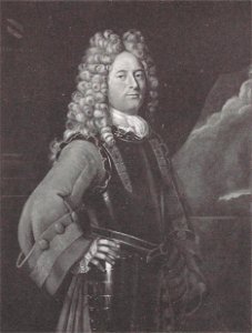
hyacinthe rigaud
françois arago
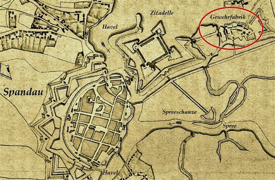
historical documents of the spandau citadel
festung spandau
paulys realencyclopädie der classischen altertumswissenschaft band i
2
petar ii petrović-njegoš
johann böss
maps from the mechanical curator collection
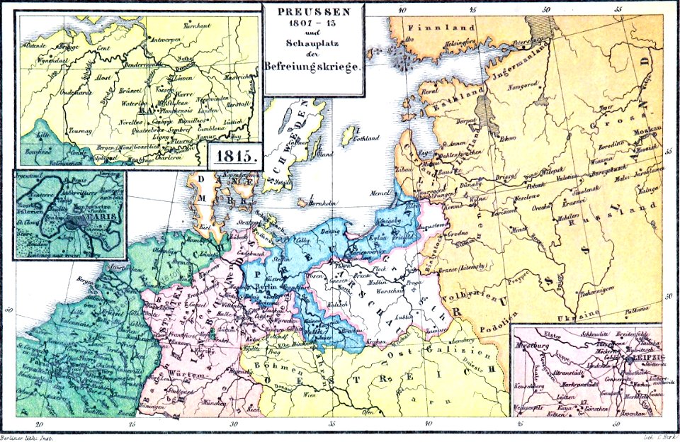
old maps of prussia
1590 maps
unidentified maps
1841 maps
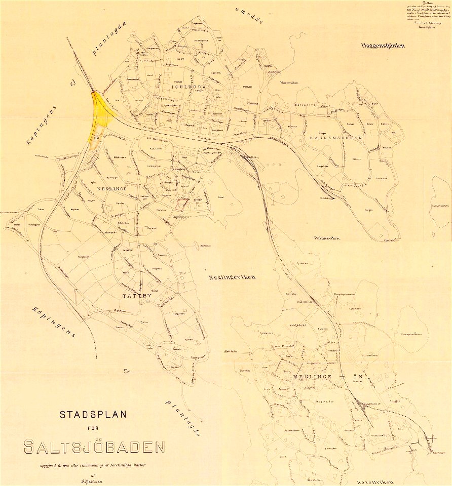
saltsjöbaden
maps
saltsjöbaden
maps
maps with cartouches
curonian
king george ii (thomas hudson - npg 670)
1760s
portrait paintings by gyula benczúr
academic art
old maps of belarus
daugava
old maps of belarus
daugava
old maps of belarus
daugava
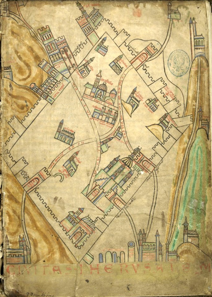
cartography of jerusalem
old maps of jerusalem
maps of amsterdam by cornelis anthonisz.
paintings of amsterdam
national atlas of the united states
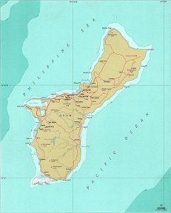
maps of guam
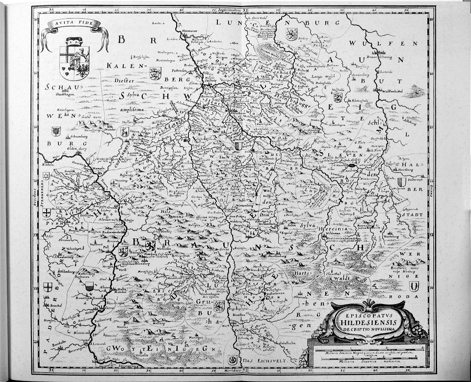
engravings of topographia saxoniae inferioris
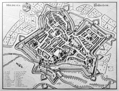
old maps of hildesheim
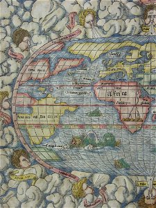
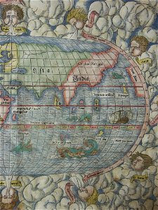
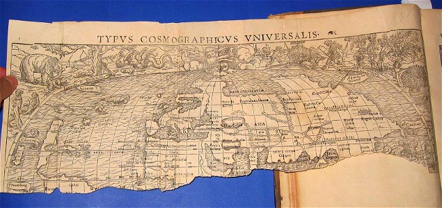
illustrations of cosmographia (münster)
old maps of the world
historical images of cervia
old maps of emilia-romagna
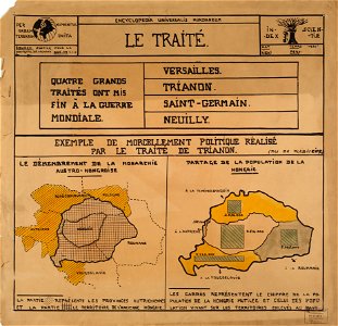
encyclopaedia universalis mundaneum
maps of the treaty of trianon
illustrations of cosmographia (münster)
old maps of the world
illustrations of cosmographia (münster)
old maps of the world
engravings of topographia saxoniae inferioris
old maps of hildesheim
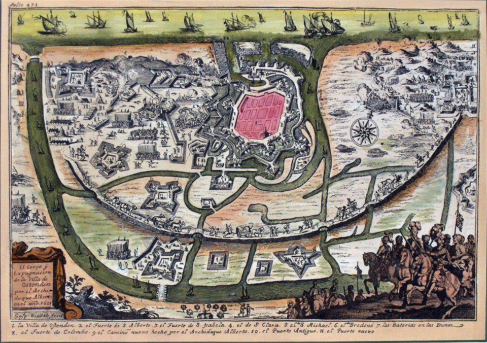
siege of ostend
low country
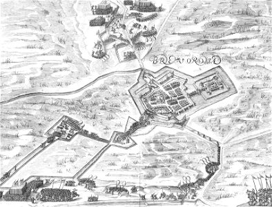
old maps of bredevoort
pikemen
18th-century oil portraits of men at half length
male
19th-century portrait paintings in the palace of schönbrunn
paintings by leopold kupelwieser
francis d'avignon
george hayward
francis d'avignon
george hayward
old maps of the iberian peninsula
1870 in spain
18th-century oil on canvas paintings
male politicians of switzerland
taejo of joseon in art
eojin
simon v of montfort in miniature
battle of evesham
religious paintings by lucas cranach (ii)
german renaissance
portrait paintings of males in the national gallery of art
neoclassicism
coats of arms of blois
henry
david rumsey historical map collection
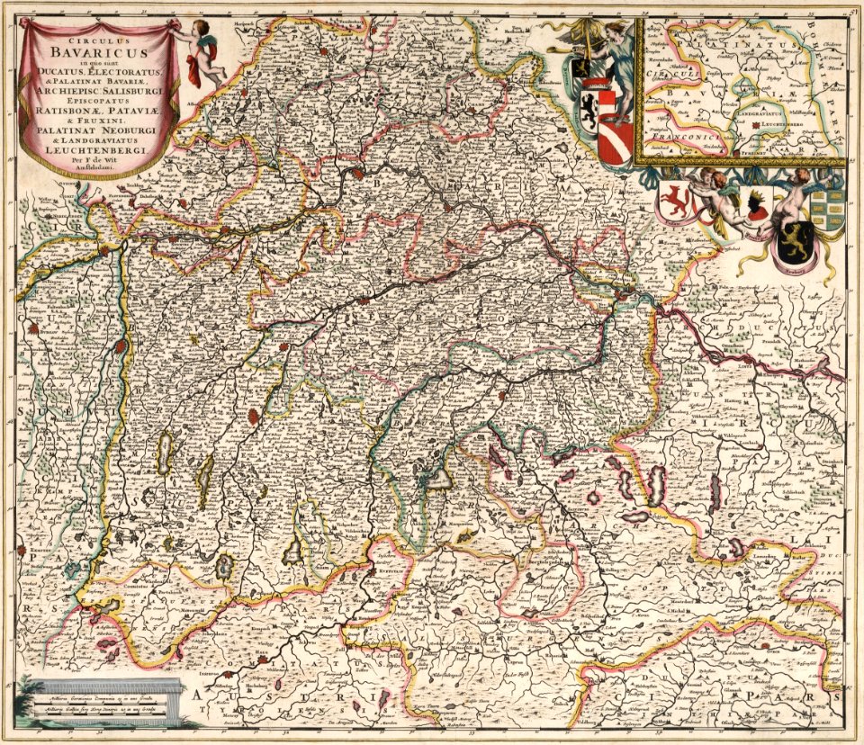
maps by frederick de wit
maps made in the 17th century
gerard valck
family portraits of sweden rulers
house of bernadotte
19th-century portrait paintings in the national museum of capodimonte
gennaro maldarelli
portrait of christopher columbus by ridolfo del ghirlandaio
collections of museo navale di pegli
james doyle penrose
bede
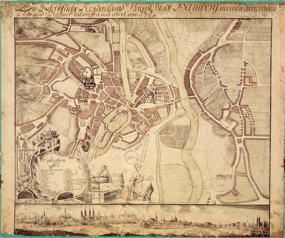
collections of staatsbibliothek bamberg
history of bamberg
old maps of piedmont
history of savoie
history of hanau
maps of hanau
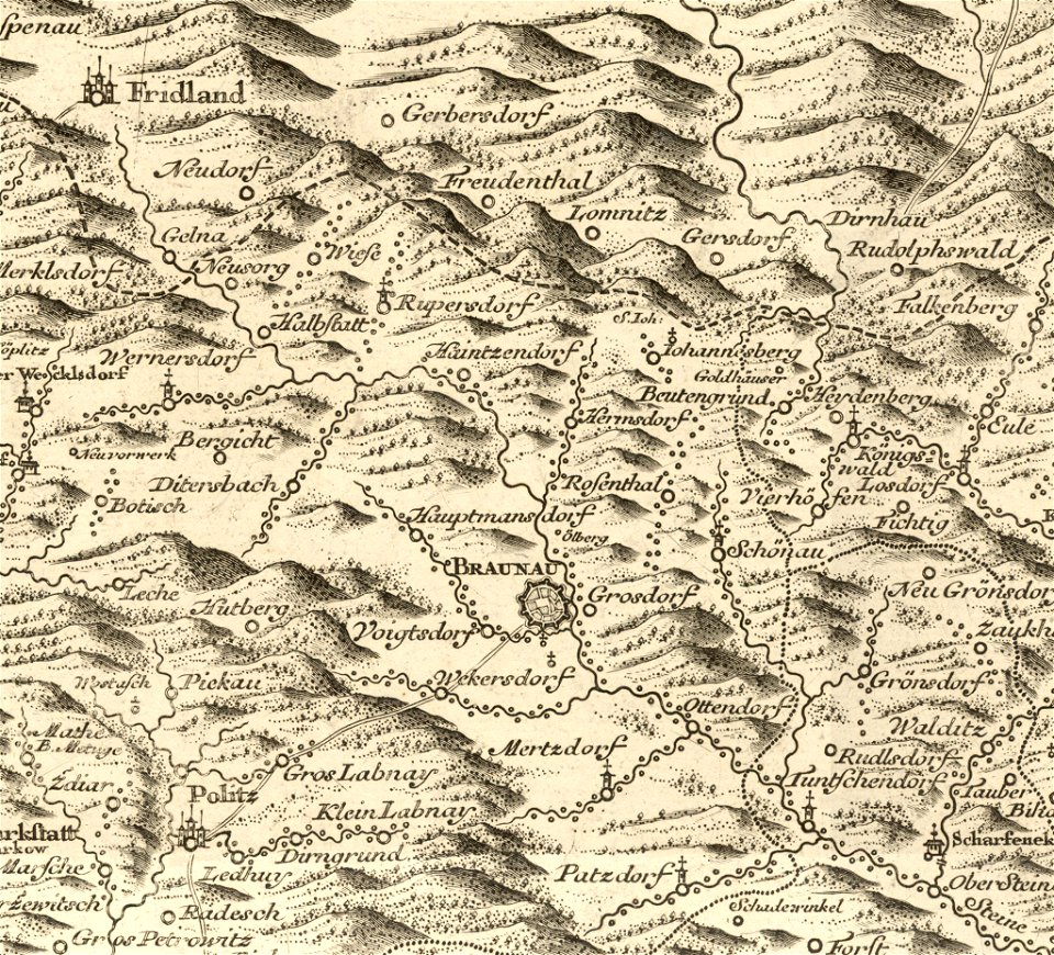
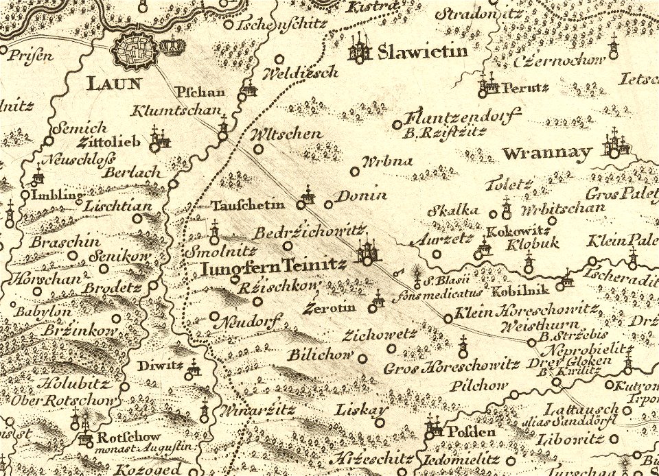
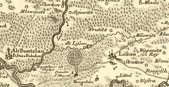
müller's map of bohemia
history of broumov
details of müller's map of bohemia
maps of louny district
port of jijel
maps of jijel
details of müller's map of bohemia
maps of stará lysá
old maps of the canton of zürich
cartography of switzerland
1696 in bretagne
1696 maps
coats of arms of cities in alpes-de-haute-provence
pierre gassendi
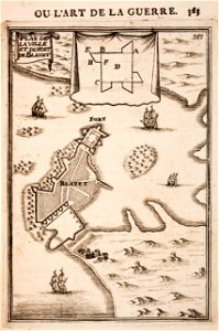
fort zeelandia, taiwan in art
siege of fort zeelandia
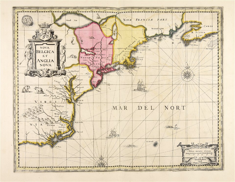
new york
deposits
maps made in the 17th century
jan janssonius
bibliothèque municipale de reims
montparnasse
maps made in the 18th century
gerard valck
trịnh lords
1718)
1887 in bretagne
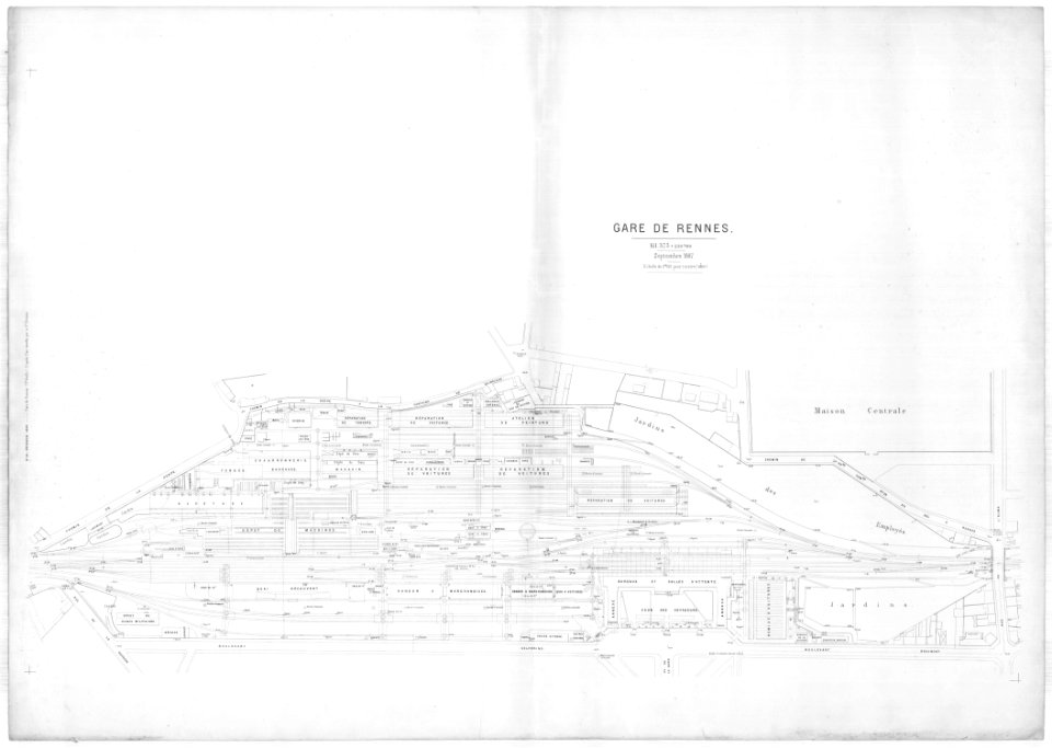
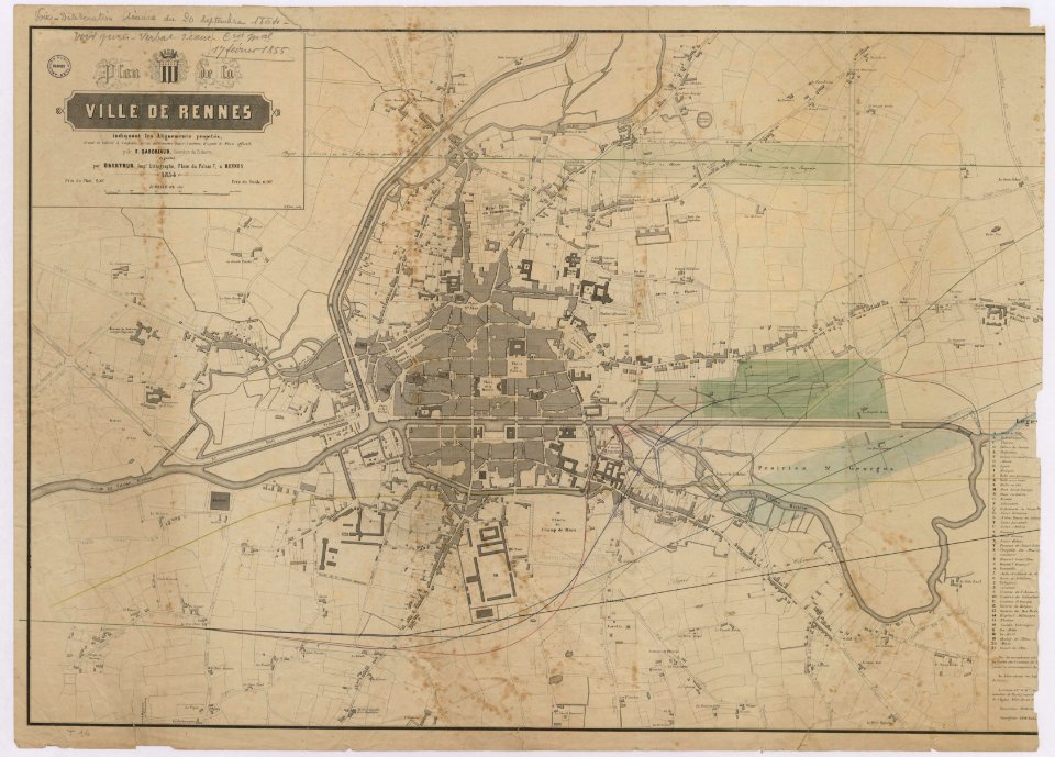
gare de rennes
old maps of rennes
gare de rennes
old maps of lower saxony
maps with cartouches
atlas van der hagen (volume 3)
atlas van der hagen
historical images of orléans
maps with cartouches
1790s drawings
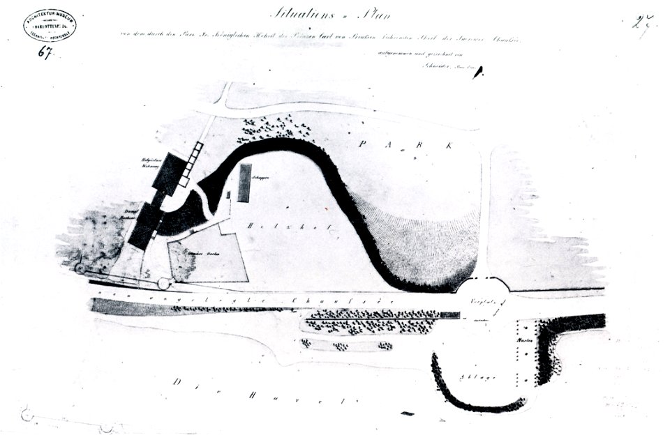
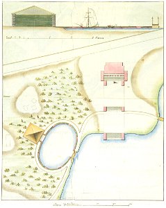
palace park
hand-drawn maps and views of world war i battlefields by h.m.
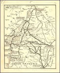
old maps of cameroon
images from the new york public library
francis d'avignon
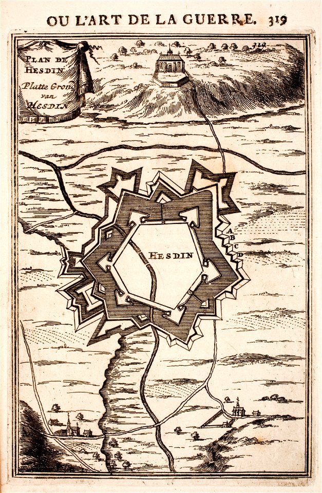
prints from manesson travaux de mars at the peace palace library
regular hexagons
octagons (architecture)
maps of ath city walls
atlantis magni tomus tertius (biblioteca comunale di trento)
maps made in the 17th century
atlantis magni tomus tertius (biblioteca comunale di trento)
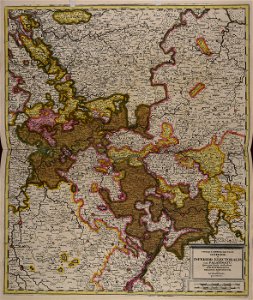
maps of territories in the electoral rhenish circle
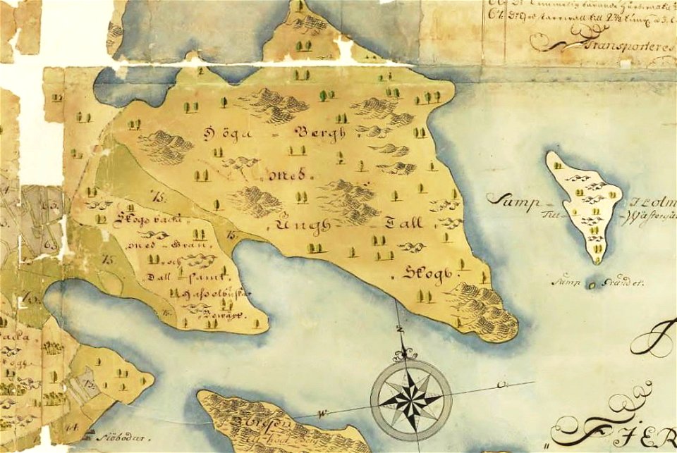
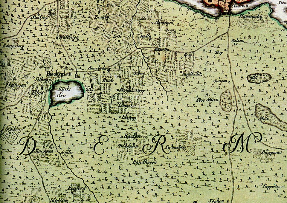
brännkyrka kyrka
älvsjö gård
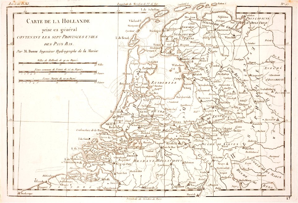
1780 maps of the netherlands
1780 maps of germany
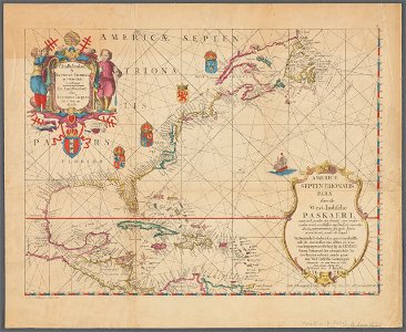
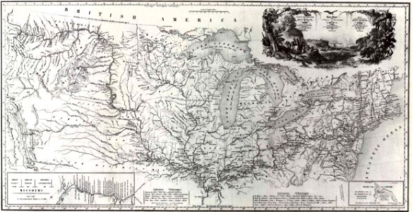
old maps of north america
1843 maps
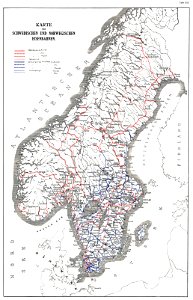
history of rail transport in norway
rail transport maps of norway
university of toronto wenceslas hollar digital collection
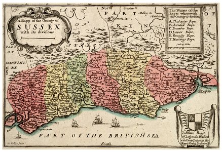
old county maps of sussex
university of toronto wenceslas hollar digital collection
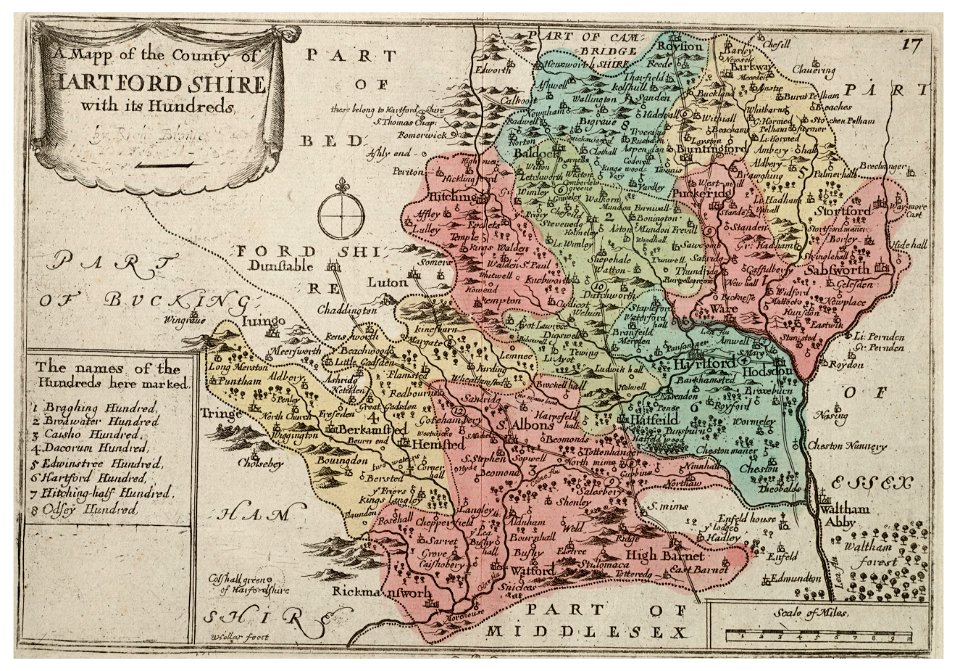
history of watford
university of toronto wenceslas hollar digital collection
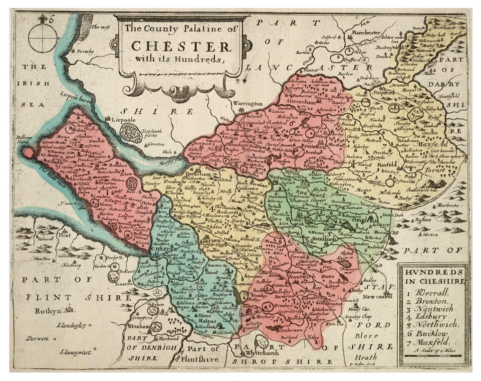
old county maps of cheshire
atlantis magni tomus tertius (biblioteca comunale di trento)
maps made in the 17th century
atlantis magni tomus quintus (biblioteca comunale di trento)
maps made in the 17th century
maps made in the 17th century
jan janssonius
maps made in the 17th century
old maps of lower saxony
old maps of china
bodleian library
5601 - 5700 of 1,096,168
Next page
/ 10962